Hec - Ras Reporting
Hec - Ras Reporting
Hydrographic data is a form of measurement prepared in the field of hydroelectric power plants by measuring very long times and as a result of high costs.
Therefore, operating firms demand Hec-Ras operation by keeping the risk rate at maximum level without waiting for the necessary measurements.
As mentioned in the Environmental Protection, Safety and Warning Systems Application Guidelines in Energy Purpose Facilities, Hec-ras results are requested in the project work.
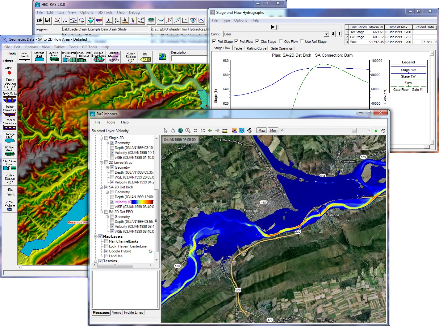
The HecRas report simulates the report, which is physically measured over a year in a mobile environment with flowmeters and laser meters on the ground of the water in the stream bed, and provides reporting in "a very short time".
As a result of the HecRas report; A scenario like regional flood has been prepared and data of overflow risk values are collected and processed on the map in a short time.

